Table of Contents (click to expand)
Google Traffic crowdsources data from users who have toggled their location to ‘on’ in the Google Maps app. Google collects information about the current traffic conditions on any given road/highway from its users who share their geographic location with the app. This way, Google can provide real-time traffic updates to all its Maps app users by first obtaining their information.
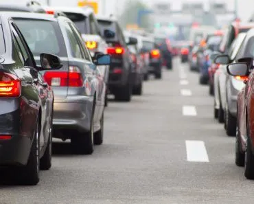
A few weeks ago, I had an important appointment that required me to be on an 8 AM train. Unfortunately, I missed the train due to a traffic jam caused by a toppled truck.
Lesson learned: always check traffic conditions before taking a long or critical journey.
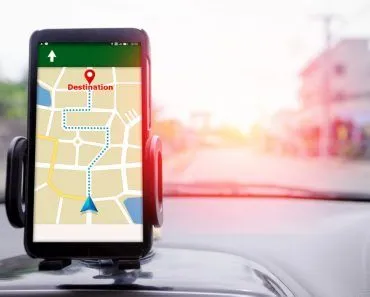
In the past, radio broadcasts were the only way to learn about the traffic conditions on a particular road. However, today, we can access real-time updates through Google Maps and other phone applications that rely on Google’s data.
While finding locations is simple with a map, obtaining information on traffic conditions requires additional assistance. Google Traffic provides this help, but have you ever wondered how they gather and provide this data?
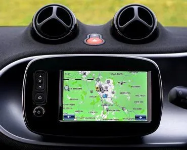
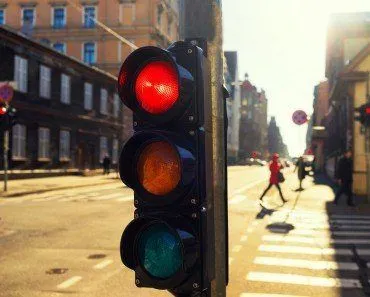
Google has a special built-in feature called Google Traffic on its Maps app that shows traffic conditions in real-time on major roads in particular geographic locations.
If you have the Google Maps app on your smartphone (or any other electronic device), you can access info on the current traffic conditions on any given road/highway.
Recommended Video for you:
Google Maps And Traffic Sensors
When Google Traffic first launched in February 2007 (built on technology from ZipDash, a real-time traffic startup Google acquired in 2004), it gathered information from traffic sensors and cameras installed by government transportation agencies and select private companies. These sensors used laser radar or active infrared technology to detect the size and speed of automobiles, allowing them to determine the speed of traffic.
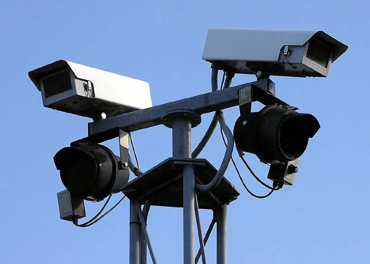
The collected data was transmitted to servers, which were then used to provide regular traffic updates. Google also used this information in its Maps app to inform users about traffic conditions.
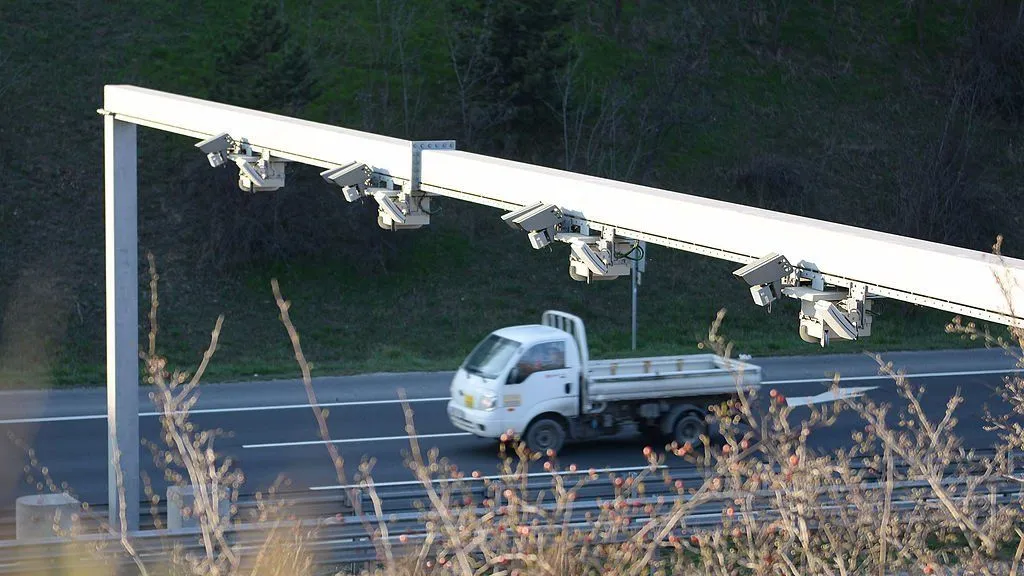
Unfortunately, there were a number of drawbacks to this technique. Firstly, these sensors were only installed on important streets, i.e. the roads that were most prone to traffic. Therefore, if you wanted to take an alternate, lesser-used route to your destination, but there was an unexpected traffic jam on it, you wouldn’t know about it in advance. Furthermore, with traffic sensors, you could never get updates on the current traffic on a particular road instantaneously on your smartphone or other handheld device.
Crowdsourcing
In August 2009, Google shifted to crowdsourcing – a sophisticated, quicker and much more reliable technique of obtaining real-time traffic data. Below is a simplified illustration of how crowdsourcing works:

How Does Crowdsourcing Help Google Collect Traffic Data?
Crowdsourcing is an exciting sourcing model used to collect information. Here’s how it works: Suppose you want to provide users with real-time updates on traffic conditions.
First, you develop an application where users can get directions to places using GPS. However, to get information about current traffic conditions, the user must (anonymously) share their geographic location with the app.
Since many users want traffic updates on the same route, they would need to share their geographic location with the app to access the traffic conditions on a given road.
As an app developer, you can gather extensive information about a specific geographic location, including the number of active users in that area, the speeds of different vehicles through GPS satellites, and the density of cars, among other data points. With this information, you can provide real-time traffic updates to your app’s users by collecting data from them.
This is known as crowdsourcing, where you take information from your app users, analyze it quickly, and then send back useful and practical information to the users.
Google uses this technique to provide traffic updates to its users. When ‘My Location’ is enabled in Google Maps, your location data will be automatically sent to Google’s servers.
While travelling on a busy road, you might be near other travellers who also have toggled their location to ‘on’ in the app, and are therefore automatically sharing traffic info with Google. When Google sees that there are a few slow-moving vehicles (or a lot of slow-moving, Maps-bearing smartphones) in a particular area, it indicates this with an orange line on Maps. If there has been an obstruction or a diversion resulting in a proper traffic jam, it shows a red line, while dark red signals nearly stopped, stop-and-go traffic. A red-and-white dashed line marks a full road closure.
![]()
You can always opt out of the system by choosing not to share your location with Google. Your privacy might be protected, but you won’t be able to learn if there’s a traffic jam on the road ahead!
It is important to note that Google claims that the sharing of your smartphone location is completely anonymous, so Google doesn’t know the exact source of the incoming information. This is extremely important, as it results in a reliable, secure ecosystem where users can share information for the collective good without compromising their own privacy.
How Waze Adds A Human Layer To Google Maps Traffic
In June 2013, Google acquired Waze, the popular Israeli navigation app, for roughly $1.15 billion. Waze took crowdsourcing one step further by letting drivers actively report incidents – accidents, broken-down vehicles, road closures, potholes, speed traps and police checkpoints – in addition to passively contributing GPS data. Today, Google Maps blends Waze’s user-reported incidents with its own anonymized location data, which is why you often see real-time alerts for crashes, construction or hazards directly on the road ahead.
AI And DeepMind: Predicting The Traffic You Haven’t Hit Yet
Real-time data alone tells you what traffic looks like right now, but Google Maps also has to predict what it will look like 10, 30, or 60 minutes into your trip. Since 2020, Google has worked with DeepMind, Alphabet’s AI lab, to build a Graph Neural Network (GNN) that models the road network as a graph of connected segments. The model fuses live crowdsourced speeds with historical patterns and feeds in extra signals like the day of the week, weather, road quality, speed limits, and known accidents or closures.
According to Google, this approach has reduced ETA inaccuracies by up to 50% in cities such as Berlin, Jakarta, São Paulo, Sydney, Tokyo and Washington D.C., and ETAs are now accurate for over 97% of trips worldwide. So when Google Maps suggests a slightly longer route that "saves 6 minutes", it isn’t just reading the current traffic colors – it’s using a neural network to forecast where the jam will be by the time you get there.
Last Updated By: Ashish Tiwari
References (click to expand)
- Mehta, H., Kanani, P., & Lande, P. (2019). Google maps. International Journal of Computer Applications, 178(8), 41-46.
- The bright side of sitting in traffic: Crowdsourcing road .... Blogger
- SYSTEM FOR OPTIMIZING DRIVING ROUTES FOR ....
- Burney, A., Asif, M., Abbas, Z., & Burney, S. (2017). Google Maps security concerns. Journal of Computer and Communications, 6(1), 275-283.